
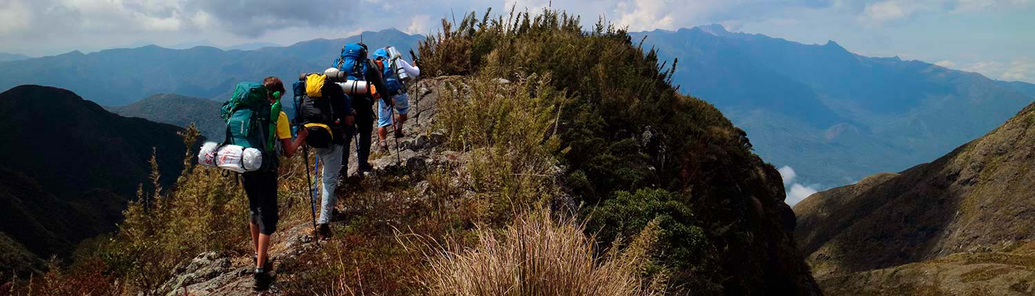
The Serra da Mantiqueira stretches across the states of São Paulo, Minas Gerais, and Rio de Janeiro. This mountain range reaches altitudes between 1,000 and nearly 3,000 meters and is home to several Conservation Units, including the Serra da Mantiqueira Environmental Protection Area, Itatiaia National Park, and the Serra do Brigadeiro and Serra do Papagaio State Parks.
Most of the range lies within Minas Gerais. The closest major capital is São Paulo, located about 90 km from Bragança Paulista, the first Mantiqueira town in São Paulo. Belo Horizonte is 170 km from Barbacena, and Rio de Janeiro is 198 km from Visconde de Mauá, a district of Resende and one of the range’s most charming mountain villages. The name Mantiqueira comes from the Tupi language, meaning “drop of rain,” formed by the words amana (rain) and tykyra (drop)—a name that highlights the region’s importance as a major freshwater source for southeastern Brazil. Many rivers that supply the region’s cities have their origins here.
The Serra da Mantiqueira features elevations ranging from 1,200 to 2,800 meters. Mountaineering is practiced along its entire length thanks to its high peaks, and the region also hosts rally events and competitions.
The five highest peaks of the Mantiqueira, according to the IBGE, are:
-
Pedra da Mina: 2,798 m
-
Pico das Agulhas Negras: 2,791 m
-
Morro do Couto: 2,680 m
-
Pedra do Sino de Itatiaia: 2,670 m
-
Pico dos Três Estados: 2,665 m
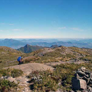
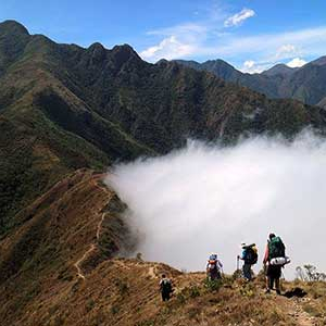
Nattrip offers several trekking expeditions across the Serra da Mantiqueira, including routes that reach these peaks and their breathtaking views. Some expeditions require previous hiking experience, but there are also options suitable for beginners. Come explore these natural paradises with us!

Share this page with someone.
Supporters and Partners